Prints & EngravingsRef. 1092
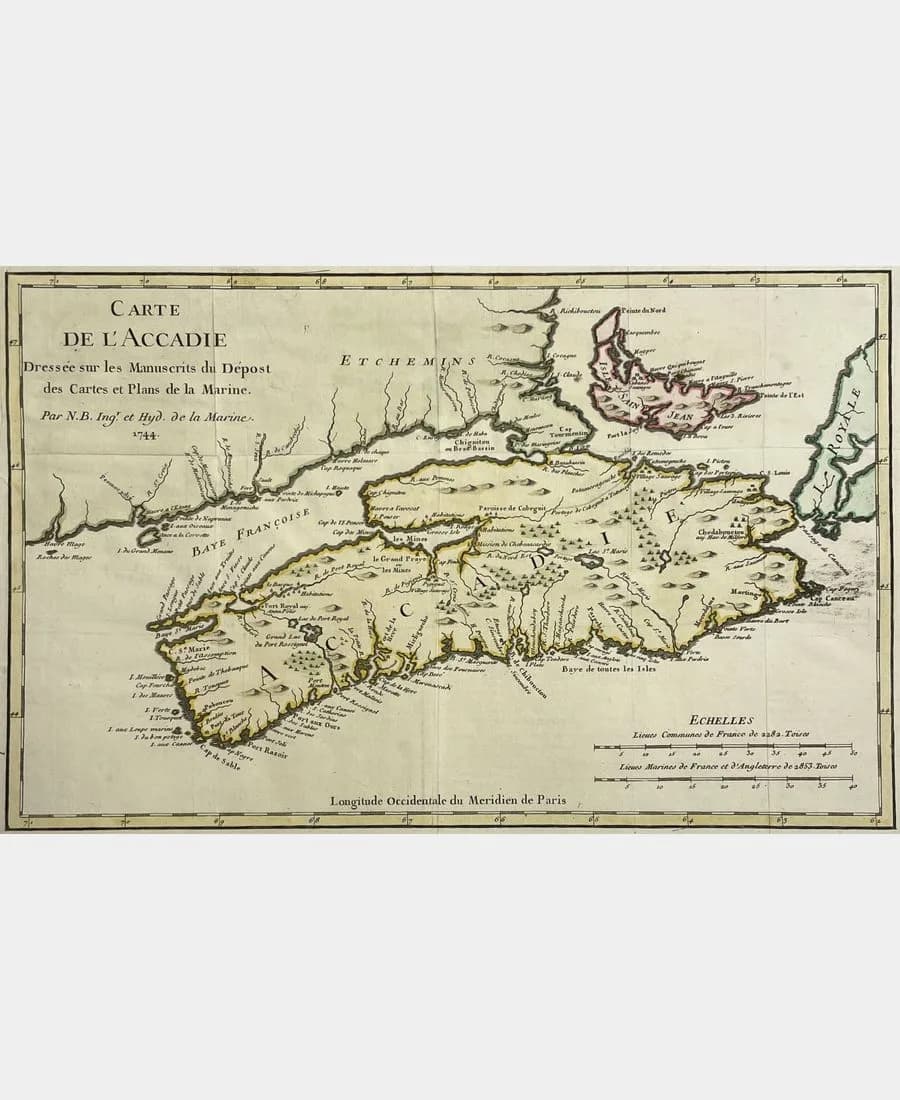
Map of Acadia, Isle Royale and Neighbouring Countries
1757
€140.00Available
Map of Acadia, Isle Royale and neighbouring countries. To serve for the Histoire Générale des Voyages. By M.B., Engineer of the Navy. Copper engraving, Paris, 1757. Hand-coloured. Platemark dimensions: 22.3 x 34.6 cm. Leaf size: 25.3 x 36 cm. Note: light foxing and a small, inconsequential loss in the margins. Central fold.
Map of Acadia, Isle Royale and neighbouring countries. To serve for the Histoire Générale des Voyages. By M.B., Engineer of the Navy. Copper engraving, Paris, 1757. Hand-coloured.